Walks from Season One - Ladybower Reservoir

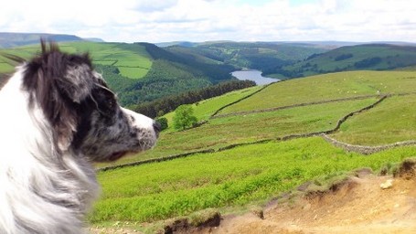
A great walk above and alongside the famous Ladybower Reservoir in the Peak District - with fabulous views across the man-made landscape off the A57.
If you've done this walk, we'd love to see your photos and videos. Share them with us on Twitter, Facebook or Instagram.
The full walk is available to watch on Walks Around Britain+, our "Netflix for Walking" video subscription website - click here for a 7 day free trial.

A walk around Ladybower Reservoir in the Peak District - Walks Around Britain Shorts
Route Directions
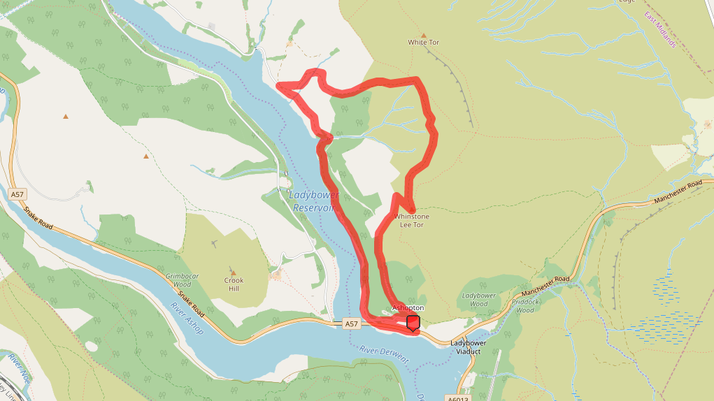
- Park in the laybys along the A57, and walk toward the Ashopton Viaduct – but just before it, cross over the A57 and take the access road leaving the road on the right.
- Just after the trees on the right, take the footpath around to the right and follow it through the remains of Ashopton village.
- The path enters the woodland, and soon, there’s a kissing gate on the left. Go through this gate and steadily climb up this path between the two areas of woodland. This section can be a bit boggy – and also from here, dogs should be kept on leads due to loose sheep.
- Eventually the woodland on the right gives way to show Lead Hill, and soon after, the woodland on the left gives way for an excellent view of Ladybower.
- Continue to climb up the path and soon, there’s a fairly challenging section where a lot of the path has eroded away. Take care here and find any safe and stable route up to the top, where six paths meet together. For a great view, turn hard right to the vantage point on Lead Hill.
- To continue on the walk, take the hard left footpath – so the first path on your left as you came up the eroded path section.
- Follow this path as it hugs the side of the Derwent Moors – watching out for the Hurkling Stones and Wheel Stones on the right too.
- Just after a path joins the footpath from the right, there’s a kissing gate on the left. Take this path as it descends downwards.
- The path turns to the right with some woodland on the left. Eventually, the path crosses Grindle Clough, which depending on how much rain there has been might mean you’ll get wet boots here.
- Just after the gate is a shelter rebuilt by the National Trust, which is a great place for a sandwitch. Then carry on down through the farm buildings and down towards another gate.
- After this gate, turn hard left and soon, the path crosses Grindle Clough again and follow the well-made path just above the side the reservoir.
- A bridge takes the path over Grainfoot Clough, which is more powerful now at the bottom of the valley than we saw it at the top.
- The path enters woodland from here on, but nears the shore of the reservoir before reaching a gate which leads back to the A57, and back to your car.
Walk Info
Distance | 4 miles (7.1km) |
Minimum time | 2½ hours |
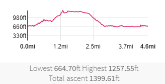
Total ascent | 1400 ft (427m) |
Level of difficulty | Medium |
Paths | Well defined paths & fairly steep rise 3 gates |
Map | |
Start/finish | Grid SK 18671 87457 |
Dogs? | On leads |
Parking | Off-road on A57 |
Public Transport | Services 273, 274 & 275 from Sheffield |
Toilets/Refreshments | None on route |
Gradient Profile

Share this walk
Relevant Links
Visiting the Upper Derwent Valley
Information about what to see and do when visiting the reservoirs in the area from Severn Trent Water.
The Lost Villages of Ashopton and Derwent
An interesting site about the villages which were flooded to make way for the reservoirs in the valley.
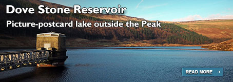
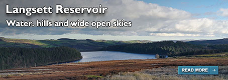
If you enjoyed this walk, you might like these...